The Charles Dickens Page
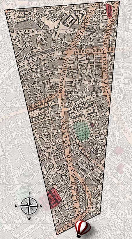
Dickens Aerial London Map > View 3
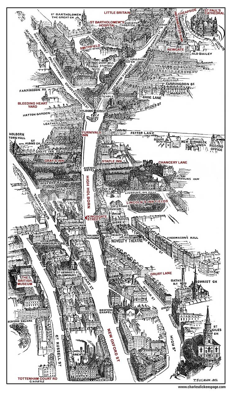
New Oxford Street and Holborn to Smithfield and Cheapside
Bird's-Eye Views of Victorian London
Learn more
Places with Dickens associations.
Chancery Lane
Cheapside
Drury Lane
Furnival's Inn
High Holborn
Kingsgate Street
Lincoln's Inn Fields
New Oxford Street
Newgate Prison
Paternoster Row
Smithfield
St Paul's Cathedral
Staple Inn
The British Museum
Tottenham Court Road
Footprint on Reynolds' 1862 Map of London